Sforza Pallavicini stop - Friday schedule
| Line | Direction | Time |
|---|---|---|
| N3D | Piazzale Ostiense-Piramide (Metro B-Rail Line) | 3:20 AM |
| N3D | Piazzale Ostiense-Piramide (Metro B-Rail Line) | 3:20 AM |
| N3D | Piazzale Ostiense-Piramide (Metro B-Rail Line) | 3:55 AM |
| N3D | Piazzale Ostiense-Piramide (Metro B-Rail Line) | 3:55 AM |
| N3D | Piazzale Ostiense-Piramide (Metro B-Rail Line) | 4:25 AM |
| N3D | Piazzale Ostiense-Piramide (Metro B-Rail Line) | 4:25 AM |
| N3D | Piazzale Ostiense-Piramide (Metro B-Rail Line) | 4:55 AM |
| N3D | Piazzale Ostiense-Piramide (Metro B-Rail Line) | 4:55 AM |
| 23 | Clodio | 5:46 AM |
| 23 | Clodio | 5:52 AM |
| 982 | Seventeenth Olympics | 5:56 AM |
| 23 | Clodio | 5:58 AM |
| 23 | Clodio | 6:10 AM |
| 23 | Clodio | 6:25 AM |
| 982 | Seventeenth Olympics | 6:33 AM |
| 23 | Clodio | 6:38 AM |
| 23 | Clodio | 6:50 AM |
| 982 | Seventeenth Olympics | 7:02 AM |
| 23 | Clodio | 7:05 AM |
| 23 | Clodio | 7:20 AM |
| 23 | Clodio | 7:31 AM |
| 23 | Clodio | 7:37 AM |
| 982 | Seventeenth Olympics | 7:38 AM |
| 23 | Clodio | 7:42 AM |
| 23 | Clodio | 7:53 AM |
Directions to Sforza Pallavicini stop (Roma) with public transit
The following transit lines have routes that pass near Sforza Pallavicini
 Bus: 23, 280, 49, 492, SITBUS.
- Train: FL3, FL5, R, R, R.
- Metro: A.
How to get to Sforza Pallavicini stop by bus?
Click on the bus route to see step by step directions with maps, line arrival times and updated time schedules.
How to get to Sforza Pallavicini stop by train?
Click on the train route to see step by step directions with maps, line arrival times and updated time schedules.
How to get to Sforza Pallavicini stop by metro?
Click on the metro route to see step by step directions with maps, line arrival times and updated time schedules.
Bus stops near Sforza Pallavicini stop in Roma
- Rome Vatican, 4 min walk,
- Crescenzio/Risorgimento, 4 min walk,
- Vitelleschi, 5 min walk,
- Cola Di Rienzo/Catone, 5 min walk,
Metro stations near Sforza Pallavicini station in Roma
- Ottaviano, 9 min walk,
Light Rail stations near Sforza Pallavicini station in Roma
- Flaminio, 21 min walk,
Train stations near Sforza Pallavicini station in Roma
- Roma San Pietro, 26 min walk,
Bus lines to Sforza Pallavicini stop in Roma
- SITBUS, Fiumicino,
- SITBUS, Aurelia Ring Road,
- SITBUS, Roma Termini,
- N3D, Piazzale Ostiense-Piramide (Metro B-Rail Line),
- 23, Clodio,
- 49, Cavour Square,
- 280, Partigiani (Station),
- 492, Cipro Metro Station (Line A),
- 913, Monte Mario Station (FS-FL3),
- 982, Quattro Venti Station,
- N3S, Ostiense Square-Pyramid (Metro-Rail),
- 81, Crescenzio/Risorgimento,
- TERRAVISION, Vatican City,
What are the closest stations to Sforza Pallavicini?
The closest stations to Sforza Pallavicini are:
- Rome Vatican stop is 233 meters away, 4 min walk.
- Crescenzio/Risorgimento stop is 263 meters away, 4 min walk.
- Vitelleschi stop is 317 meters away, 5 min walk.
- Cola Di Rienzo/Catone stop is 343 meters away, 5 min walk.
- Ottaviano station is 680 meters away, 9 min walk.
- Flaminio station is 1588 meters away, 21 min walk.
- Roma San Pietro station is 2032 meters away, 26 min walk.
Which bus lines stop near Sforza Pallavicini?
These bus lines stop near Sforza Pallavicini: 23, 280, 49, 492.
Which train lines stop near Sforza Pallavicini?
These train lines stop near Sforza Pallavicini: FL3, FL5.
Which metro line stops near Sforza Pallavicini?
A (Battistini)
What’s the nearest light rail station to Sforza Pallavicini in Roma?
The nearest light rail station to Sforza Pallavicini in Roma is Flaminio. It’s a 21 min walk away.
What’s the nearest metro station to Sforza Pallavicini in Roma?
The nearest metro station to Sforza Pallavicini in Roma is Ottaviano. It’s a 9 min walk away.
What’s the nearest train station to Sforza Pallavicini in Roma?
The nearest train station to Sforza Pallavicini in Roma is Roma San Pietro. It’s a 26 min walk away.
What’s the nearest bus station to Sforza Pallavicini in Roma?
The nearest bus stations to Sforza Pallavicini in Roma are Rome Vatican and Crescenzio/Risorgimento. The closest one is a 4 min walk away.
What time is the first light rail to Sforza Pallavicini in Roma?
The 2 is the first light rail that goes to Sforza Pallavicini in Roma. It stops nearby at 5:27 AM.
What time is the last light rail to Sforza Pallavicini in Roma?
The 2 is the last light rail that goes to Sforza Pallavicini in Roma. It stops nearby at 12:40 AM.
What time is the first metro to Sforza Pallavicini in Roma?
The A is the first metro that goes to Sforza Pallavicini in Roma. It stops nearby at 5:37 AM.
What time is the last metro to Sforza Pallavicini in Roma?
The A is the last metro that goes to Sforza Pallavicini in Roma. It stops nearby at 12:03 AM.
What time is the first train to Sforza Pallavicini in Roma?
The FL5 is the first train that goes to Sforza Pallavicini in Roma. It stops nearby at 5:24 AM.
What time is the last train to Sforza Pallavicini in Roma?
The FL5 is the last train that goes to Sforza Pallavicini in Roma. It stops nearby at 11:47 PM.
What time is the first bus to Sforza Pallavicini in Roma?
The N3D is the first bus that goes to Sforza Pallavicini in Roma. It stops nearby at 3:20 AM.
What time is the last bus to Sforza Pallavicini in Roma?
The N3S is the last bus that goes to Sforza Pallavicini in Roma. It stops nearby at 3:22 AM.
Sforza Pallavicini station
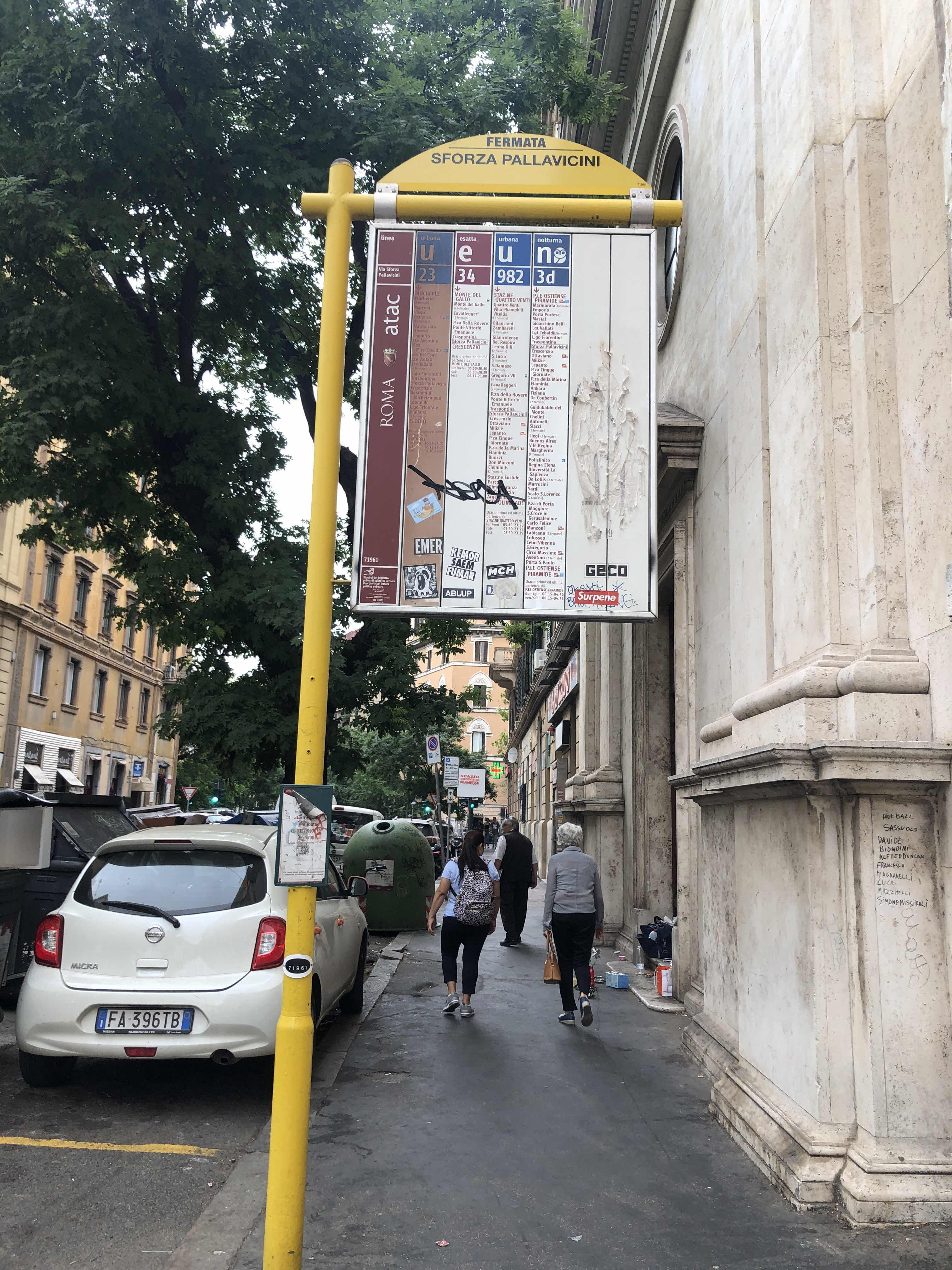 Taken by Anonymous
See Sforza Pallavicini stop, Roma, on the map
Public transit to Sforza Pallavicini stop (ID: 71961) in Roma
Looking for directions to Sforza Pallavicini in Roma, Italy?
Download the Moovit App to find the current schedule and step-by-step directions for Bus, Metro or Train routes that pass through Sforza Pallavicini.
Looking for the nearest stops closest to Sforza Pallavicini ? Check out this list of closest stops to your destination: Rome Vatican; Crescenzio/Risorgimento; Vitelleschi; Cola Di Rienzo/Catone; Ottaviano; Flaminio; Roma San Pietro.
Bus: 23, 280, 49, 492, SITBUS, SITBUS, SITBUS, N3D, N3S, 81.Train: FL3, FL5, R, R, R, RV.Metro: A.
We make riding on public transit to Sforza Pallavicini easy, which is why over 1.7 billion users, including users in Roma trust Moovit as the best app for public transit.
Use the app to navigate to popular places including to the airport, hospital, stadium, grocery store, mall, coffee shop, school, college, and university.
Sforza Pallavicini stop’s code is 71961
The first line to this stop is N3D, at 3:20 AM, and the last line is N3D at 2:43 AM.
This stop serves BIS and ATAC’s lines
- Rome Vatican,
- Crescenzio/Risorgimento,
- Vitelleschi,
- Cola Di Rienzo/Catone
Bus stops near Sforza Pallavicini stop
- Ottaviano
Metro station near Sforza Pallavicini station
- Flaminio
Light Rail station near Sforza Pallavicini station
- Roma San Pietro
Train station near Sforza Pallavicini station
- Arcinazzo | Highlands,
- Santa Maria Delle Mole | Maroncelli St,
- Fara Sabina | Campo Maggiore,
- Bellini,
- Colombo/Georgofili,
- Prenestina/Ponzoni,
- Corso/Saints Apostles,
- Frosinone - Via Casilina Via Saragat,
- Casilina/Gallarate,
- Viterbo | Via Cimina (Barracks),
- Viterbo | Porta Fiorentina Station,
- Morosini E./New Regina Margherita (Hospital),
- Civita Castellana - Magliano,
- Tor Vergata/Main Hall,
- Alatri Hospital,
- Vigna Murata (Mb),
- Poggio S. Lorenzo | Fp001 Fermata Provvisoria,
- Pontinia | Maritime Road (New Bridge),
- Nettuno,
- Porta Metronia
Popular public transit stations in Roma
Get around Roma by public transit!
Traveling around Roma has never been so easy. See step by step directions as you travel to any attraction, street or major public transit station. View bus and train schedules, arrival times, service alerts and detailed routes on a map, so you know exactly how to get to anywhere in Roma.
When traveling to any destination around Roma use Moovit's Live Directions with Get Off Notifications to know exactly where and how far to walk, how long to wait for your line, and how many stops are left. Moovit will alert you when it's time to get off — no need to constantly re-check whether yours is the next stop.
Wondering how to use public transit in Roma or how to pay for public transit in Roma? Moovit public transit app can help you navigate your way with public transit easily, and at minimum cost. It includes public transit fees, ticket prices, and costs. Looking for a map of Roma public transit lines? Moovit public transit app shows all public transit maps in Roma with all Bus, Train, Metro, Light Rail, Ferry, Funicular and Gondola routes and stops on an interactive map.
Rome and Lazio has 7 transit type(s), including: Bus, Train, Metro, Light Rail, Ferry, Funicular and Gondola, operated by several transit agencies, including ATAC, Cotral, Trenitalia, Troiani Transportation Services, BIS, ATR Mobility, Tuscia, Shuttle, Seatour, Troiani Bus Lines, CSC Mobility, Terravision, ATRAL, Tambus and Sitbus