Togliatti/Statilio Ottato stop - Thursday schedule
| Line | Direction | Time |
|---|---|---|
| N500 | Policlinico/Tor Vergata Hospital | 3:32 AM |
| N500 | Policlinico/Tor Vergata Hospital | 3:32 AM |
| N500 | Policlinico/Tor Vergata Hospital | 4:32 AM |
| N500 | Policlinico/Tor Vergata Hospital | 4:32 AM |
| 451 | Ponte Mammolo (Metro B) | 5:02 AM |
| 451 | Ponte Mammolo (Metro B) | 5:09 AM |
| 557 | Maura Tower | 5:14 AM |
| 451 | Ponte Mammolo (Metro B) | 5:16 AM |
| 451 | Ponte Mammolo (Metro B) | 5:23 AM |
| 451 | Ponte Mammolo (Metro B) | 5:30 AM |
| 557 | Maura Tower | 5:31 AM |
| 548 | Tiburtina Station (Metro B)/East Square | 5:32 AM |
| 559 | Anagnina Metro | 5:36 AM |
| 451 | Ponte Mammolo (Metro B) | 5:37 AM |
| 451 | Ponte Mammolo (Metro B) | 5:41 AM |
| 548 | Tiburtina Station (Metro B)/East Square | 5:43 AM |
| 451 | Ponte Mammolo (Metro B) | 5:44 AM |
| 557 | Maura Tower | 5:48 AM |
| 451 | Ponte Mammolo (Metro B) | 5:51 AM |
| 559 | Anagnina Metro | 5:52 AM |
| 548 | Tiburtina Station (Metro B)/East Square | 5:55 AM |
| 451 | Ponte Mammolo (Metro B) | 5:57 AM |
| 451 | Ponte Mammolo (Metro B) | 6:03 AM |
| 557 | Maura Tower | 6:06 AM |
| 548 | Tiburtina Station (Metro B)/East Square | 6:08 AM |
Directions to Togliatti/Statilio Ottato stop (Roma) with public transit
The following transit lines have routes that pass near Togliatti/Statilio Ottato
 Bus: 451, 548, 557, 559, 789.
- Train: FL4.
- Metro: A.
How to get to Togliatti/Statilio Ottato stop by bus?
Click on the bus route to see step by step directions with maps, line arrival times and updated time schedules.
How to get to Togliatti/Statilio Ottato stop by train?
Click on the train route to see step by step directions with maps, line arrival times and updated time schedules.
How to get to Togliatti/Statilio Ottato stop by metro?
Click on the metro route to see step by step directions with maps, line arrival times and updated time schedules.
Metro stations near Togliatti/Statilio Ottato station in Roma
- Lucio Sestio, 3 min walk,
Bus stops near Togliatti/Statilio Ottato stop in Roma
- Quinto Publicio, 3 min walk,
- Quinto Publicio/Togliatti, 3 min walk,
- Chiovenda G./Togliatti, 4 min walk,
- Togliatti/Salvioli, 4 min walk,
- Quintus Curtius/Salesians, 4 min walk,
- Chiovenda G./Buonamici, 7 min walk,
Bus lines to Togliatti/Statilio Ottato stop in Roma
- 557, Maura Tower,
- 213, Largo Preneste,
- N500, Cinecitta (Ma),
- 559, Anagnina Metro,
- 451, Ponte Mammolo (Metro B),
- 548, Tiburtina Station (Metro B)/East Square,
- 558, Gardenie,
- 657, Vignali/Scintu,
What are the closest stations to Togliatti/Statilio Ottato?
The closest stations to Togliatti/Statilio Ottato are:
- Lucio Sestio station is 183 meters away, 3 min walk.
- Quinto Publicio stop is 206 meters away, 3 min walk.
- Quinto Publicio/Togliatti stop is 222 meters away, 3 min walk.
- Chiovenda G./Togliatti stop is 244 meters away, 4 min walk.
- Togliatti/Salvioli stop is 292 meters away, 4 min walk.
- Quintus Curtius/Salesians stop is 307 meters away, 4 min walk.
- Chiovenda G./Buonamici stop is 477 meters away, 7 min walk.
Which bus lines stop near Togliatti/Statilio Ottato?
These bus lines stop near Togliatti/Statilio Ottato: 451, 548, 557, 559, 789.
Which train line stops near Togliatti/Statilio Ottato?
FL4 (Frascati/Albano/Velletri)
Which metro line stops near Togliatti/Statilio Ottato?
A (Anagnina)
What’s the nearest metro station to Togliatti/Statilio Ottato in Roma?
The nearest metro station to Togliatti/Statilio Ottato in Roma is Lucio Sestio. It’s a 3 min walk away.
What’s the nearest bus station to Togliatti/Statilio Ottato in Roma?
The nearest bus stations to Togliatti/Statilio Ottato in Roma are Quinto Publicio and Quinto Publicio/Togliatti. The closest one is a 3 min walk away.
What time is the first metro to Togliatti/Statilio Ottato in Roma?
The A is the first metro that goes to Togliatti/Statilio Ottato in Roma. It stops nearby at 5:32 AM.
What time is the last metro to Togliatti/Statilio Ottato in Roma?
The A is the last metro that goes to Togliatti/Statilio Ottato in Roma. It stops nearby at 12:08 AM.
What time is the first bus to Togliatti/Statilio Ottato in Roma?
The N500 is the first bus that goes to Togliatti/Statilio Ottato in Roma. It stops nearby at 3:23 AM.
What time is the last bus to Togliatti/Statilio Ottato in Roma?
The N500 is the last bus that goes to Togliatti/Statilio Ottato in Roma. It stops nearby at 2:33 AM.
Togliatti/Statilio Ottato station
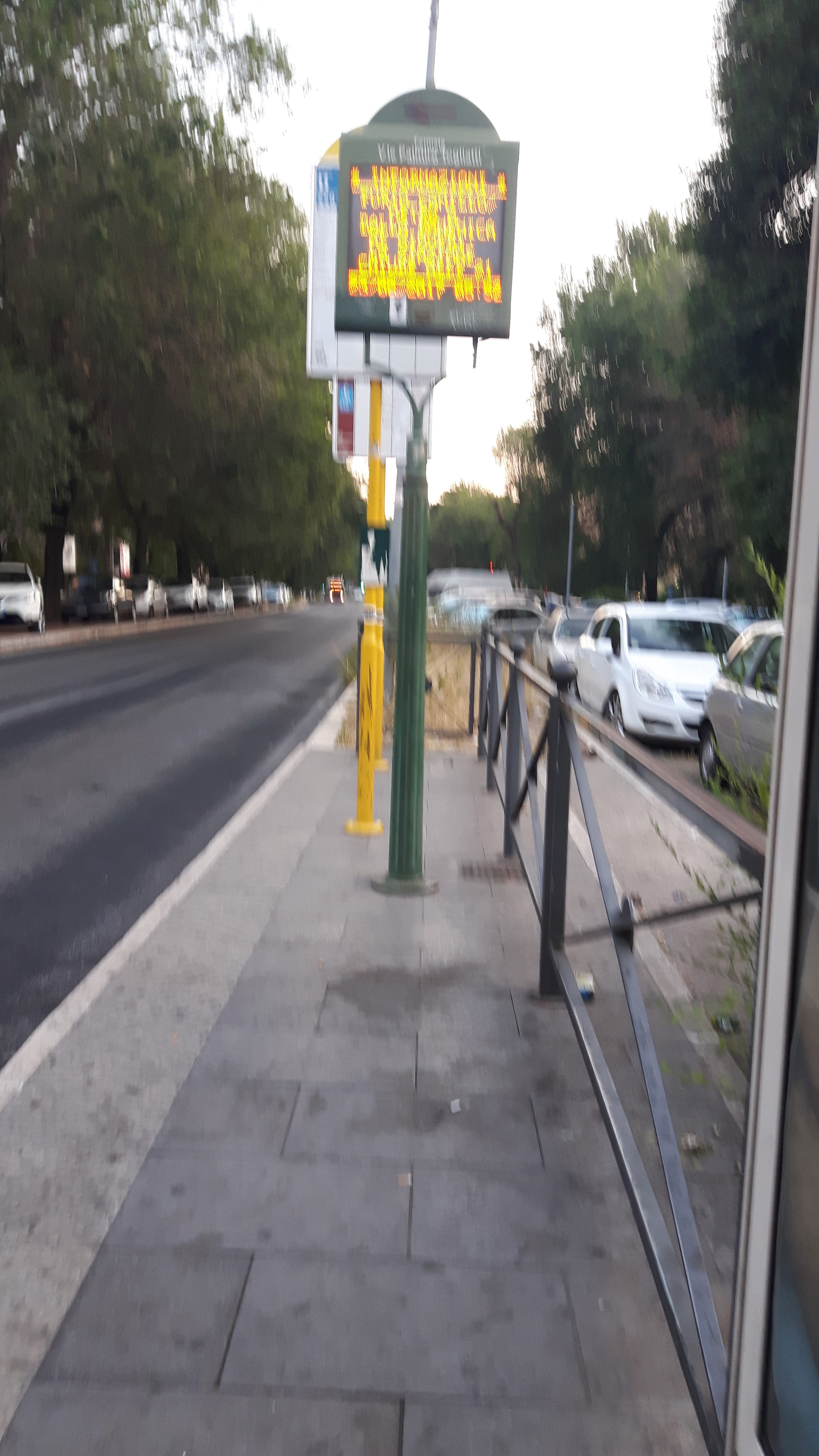 Taken by Anonymous
See Togliatti/Statilio Ottato stop, Roma, on the map
Public transit to Togliatti/Statilio Ottato stop (ID: 80476) in Roma
Looking for directions to Togliatti/Statilio Ottato in Roma, Italy?
Download the Moovit App to find the current schedule and step-by-step directions for Bus, Metro or Train routes that pass through Togliatti/Statilio Ottato.
Looking for the nearest stops closest to Togliatti/Statilio Ottato ? Check out this list of closest stops to your destination: Lucio Sestio; Quinto Publicio; Quinto Publicio/Togliatti; Chiovenda G./Togliatti; Togliatti/Salvioli; Quintus Curtius/Salesians; Chiovenda G./Buonamici.
Bus: 451, 548, 557, 559, 789, 213, N500, 558.Train: FL4.Metro: A.
We make riding on public transit to Togliatti/Statilio Ottato easy, which is why over 1.7 billion users, including users in Roma trust Moovit as the best app for public transit.
Use the app to navigate to popular places including to the airport, hospital, stadium, grocery store, mall, coffee shop, school, college, and university.
Togliatti/Statilio Ottato stop’s code is 80476
The first line to this stop is N500, at 3:32 AM, and the last line is N500 at 2:32 AM.
99 Viale Palmiro Togliatti, Roma, Italy
This stop serves ATAC and Troiani Transportation Services’s lines
- Lucio Sestio
Metro station near Togliatti/Statilio Ottato station
- Quinto Publicio,
- Quinto Publicio/Togliatti,
- Chiovenda G./Togliatti,
- Togliatti/Salvioli,
- Quintus Curtius/Salesians,
- Chiovenda G./Buonamici
Bus stops near Togliatti/Statilio Ottato stop
- Corso/Minghetti,
- Cerveteri, Furbara St Del Sasso St,
- Casal Boccone/Negri A.,
- Collatina/Tor Sapienza (FL2),
- Forano | Sports Field,
- Vetralla | Via Cassia (Km 62),
- Castel Madama | Empolitana Road (Km 4),
- San Lorenzo Station,
- Icot,
- Ardea | Old Pontina Road Km 35.600,
- Giardinetti (MC),
- Rebibbia (Metro B),
- Settebagni,
- Rome | Sempione Square,
- Grotta Perfetta/Bargellini,
- Ciamarra/Rizzieri,
- Porta Furba/Tuscolana,
- Vetralla | Campetta,
- Medaglie D'Oro/Marziale,
- Cefalonia/Giordano
Popular public transit stations in Roma
Get around Roma by public transit!
Traveling around Roma has never been so easy. See step by step directions as you travel to any attraction, street or major public transit station. View bus and train schedules, arrival times, service alerts and detailed routes on a map, so you know exactly how to get to anywhere in Roma.
When traveling to any destination around Roma use Moovit's Live Directions with Get Off Notifications to know exactly where and how far to walk, how long to wait for your line, and how many stops are left. Moovit will alert you when it's time to get off — no need to constantly re-check whether yours is the next stop.
Wondering how to use public transit in Roma or how to pay for public transit in Roma? Moovit public transit app can help you navigate your way with public transit easily, and at minimum cost. It includes public transit fees, ticket prices, and costs. Looking for a map of Roma public transit lines? Moovit public transit app shows all public transit maps in Roma with all Bus, Train, Metro, Light Rail, Ferry, Funicular and Gondola routes and stops on an interactive map.
Rome and Lazio has 7 transit type(s), including: Bus, Train, Metro, Light Rail, Ferry, Funicular and Gondola, operated by several transit agencies, including ATAC, Cotral, Trenitalia, Troiani Transportation Services, BIS, ATR Mobility, Tuscia, Shuttle, Seatour, Troiani Bus Lines, CSC Mobility, Terravision, ATRAL, Tambus and Sitbus