Village St @ Ikea stop - Saturday schedule
| Line | Direction | Time |
|---|---|---|
| SHUTTLE | Marta Arts Center Station | 12:04 AM |
Directions to Village St @ Ikea stop (Atlanta) with public transit
The following transit lines have routes that pass near Village St @ Ikea
 Bus: 1, 10, 11, SHUTTLE.
- Train: CRESCENT.
- Subway: GOLD, RED, 1 - GOLD ROUTE.
How to get to Village St @ Ikea stop by bus?
Click on the bus route to see step by step directions with maps, line arrival times and updated time schedules.
How to get to Village St @ Ikea stop by subway?
Click on the subway route to see step by step directions with maps, line arrival times and updated time schedules.
Bus stops near Village St @ Ikea stop in Atlanta
- 17th St NW @ Northside Dr NW, 1 min walk,
- Northside Dr NW @ 17th St NW, 2 min walk,
- 17th St @ State St, 3 min walk,
- 575 14th Street S, 3 min walk,
- 17th Street Northwest at Village Street, 14 min walk,
Train stations near Village St @ Ikea station in Atlanta
- Atlanta, 5 min walk,
Subway stations near Village St @ Ikea station in Atlanta
- Arts Center Transit Station, 23 min walk,
- Midtown Station, 35 min walk,
Bus lines to Village St @ Ikea stop in Atlanta
- 1, West End Stn,
- 11, Collier Rd,
- SHUTTLE, Marta Arts Center Station,
- 4 - GREEN ROUTE, Transit Hub,
- 10, Arts Center Station/Marietta TC,
- 102, Arts Center Station/Acworth P&R,
What are the closest stations to Village St @ Ikea?
The closest stations to Village St @ Ikea are:
- 17th St NW @ Northside Dr NW is 74 yards away, 1 min walk.
- Northside Dr NW @ 17th St NW is 86 yards away, 2 min walk.
- 17th St @ State St is 148 yards away, 3 min walk.
- 575 14th Street S is 190 yards away, 3 min walk.
- Atlanta is 348 yards away, 5 min walk.
- 17th Street Northwest at Village Street is 1134 yards away, 14 min walk.
- Arts Center Transit Station is 1861 yards away, 23 min walk.
- Midtown Station is 2913 yards away, 35 min walk.
Which bus lines stop near Village St @ Ikea?
These bus lines stop near Village St @ Ikea: 1, 10, 11, SHUTTLE.
Which subway lines stop near Village St @ Ikea?
These subway lines stop near Village St @ Ikea: GOLD, RED.
What’s the nearest subway station to Village St @ Ikea in Atlanta?
The nearest subway station to Village St @ Ikea in Atlanta is Arts Center Transit Station. It’s a 23 min walk away.
What’s the nearest train station to Village St @ Ikea in Atlanta?
The nearest train station to Village St @ Ikea in Atlanta is Atlanta. It’s a 5 min walk away.
What’s the nearest bus station to Village St @ Ikea in Atlanta?
The nearest bus station to Village St @ Ikea in Atlanta is 17th St NW @ Northside Dr NW. It’s a 1 min walk away.
What time is the first subway to Village St @ Ikea in Atlanta?
The GOLD is the first subway that goes to Village St @ Ikea in Atlanta. It stops nearby at 4:55 AM.
What time is the last subway to Village St @ Ikea in Atlanta?
The GOLD is the last subway that goes to Village St @ Ikea in Atlanta. It stops nearby at 1:47 AM.
What time is the first train to Village St @ Ikea in Atlanta?
The CRESCENT is the first train that goes to Village St @ Ikea in Atlanta. It stops nearby at 9:08 AM.
What time is the last train to Village St @ Ikea in Atlanta?
The CRESCENT is the last train that goes to Village St @ Ikea in Atlanta. It stops nearby at 9:08 AM.
What time is the first bus to Village St @ Ikea in Atlanta?
The SHUTTLE is the first bus that goes to Village St @ Ikea in Atlanta. It stops nearby at 5:03 AM.
What time is the last bus to Village St @ Ikea in Atlanta?
The 1 is the last bus that goes to Village St @ Ikea in Atlanta. It stops nearby at 12:46 AM.
Village St @ Ikea station
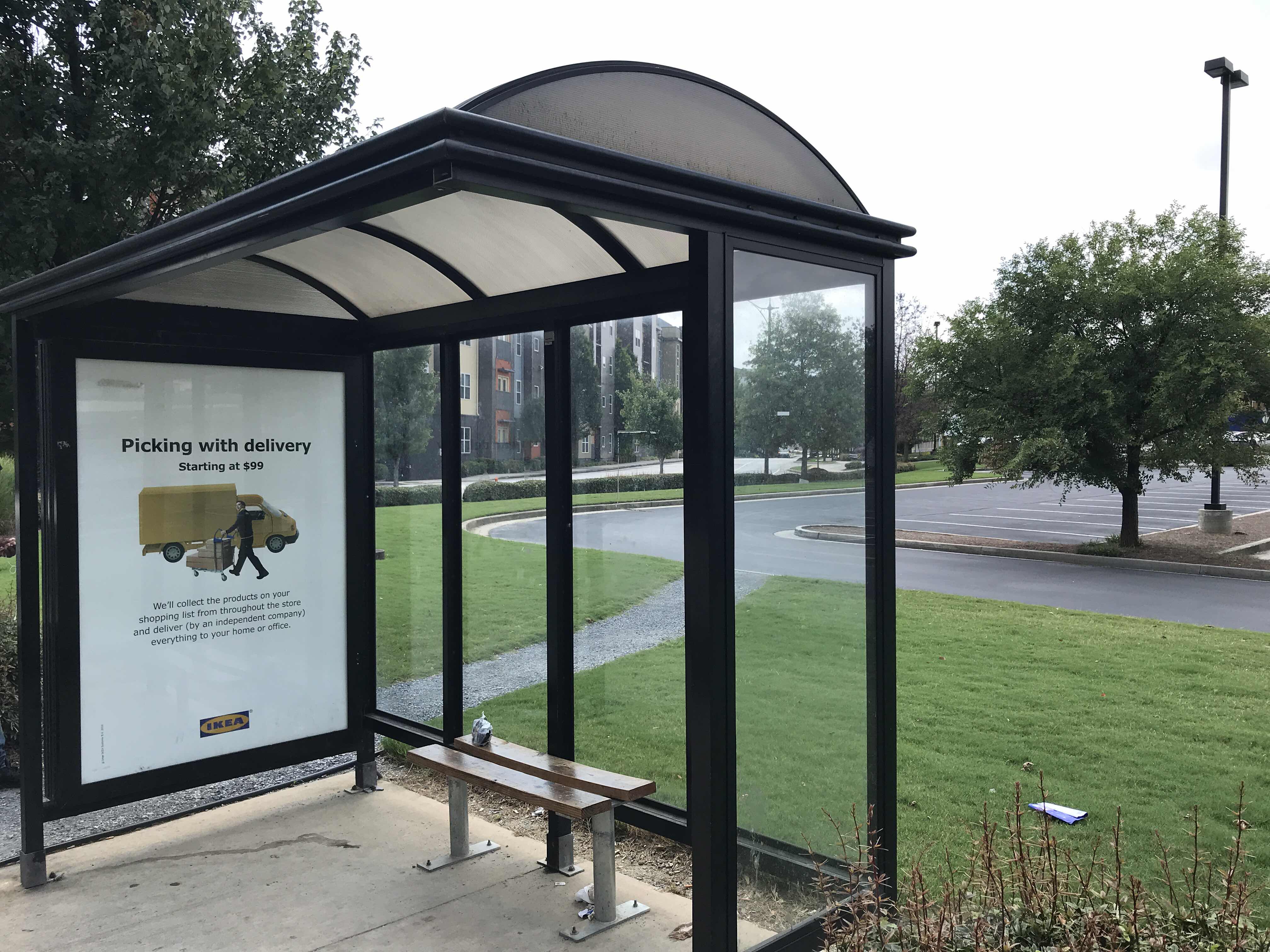 Taken by Qiaochu M.
See Village St @ Ikea stop, Atlanta, on the map
Public transit to Village St @ Ikea stop in Atlanta
Looking for directions to Village St @ Ikea in Atlanta, United States?
Download the Moovit App to find the current schedule and step-by-step directions for Bus or Subway routes that pass through Village St @ Ikea.
Looking for the nearest stops closest to Village St @ Ikea ? Check out this list of closest stops to your destination: 17th St NW @ Northside Dr NW; Northside Dr NW @ 17th St NW; 17th St @ State St; 575 14th Street S; Atlanta; 17th Street Northwest at Village Street; Arts Center Transit Station; Midtown Station.
Bus: 1, 10, 11, SHUTTLE.Train: CRESCENT.Subway: GOLD, RED, 1 - GOLD ROUTE.
We make riding on public transit to Village St @ Ikea easy, which is why over 1.7 billion users, including users in Atlanta trust Moovit as the best app for public transit.
Use the app to navigate to popular places including to the airport, hospital, stadium, grocery store, mall, coffee shop, school, college, and university.
The first line to this stop is SHUTTLE, at 12:04 AM, and the last line is SHUTTLE at 12:04 AM.
450 16th Street Nw, Atlanta, GA, USA
This stop serves Atlantic Station Shuttle’s lines
Popular routes from Village St @ Ikea stop, Atlanta
- 17th St NW @ Northside Dr NW,
- Northside Dr NW @ 17th St NW,
- 17th St @ State St,
- 575 14th Street S,
- 17th Street Northwest at Village Street
Bus stops near Village St @ Ikea stop
- Atlanta
Train station near Village St @ Ikea station
- Arts Center Transit Station,
- Midtown Station
Subway stations near Village St @ Ikea station
- Austell Rd at Amy Ln,
- Campbellton Rd @ Honeysuckle Ln,
- Ashby Transit Station,
- Decatur St SE @ Pratt St SE,
- Tilly Mill Rd @ Sandell Dr,
- Peachtree Industrial Blvd @ Chamblee Tucker Rd,
- Roosevelt Hwy @ Ben Hill Rd,
- Flat Shoals Rd @ Flat Shoals Ter,
- Landrum Dr SW @ Harbin Rd SW,
- S Marietta Pkwy at Wylie Rd,
- Metropolitan Pkwy SW @ Lillian Ave,
- N Marietta Pkwy at Fairground St,
- Briarcliff Rd Ne@Shepherds Ln Ne,
- N Peachtree Rd @ Brookhurst Dr,
- Central Ave @ Pulliam St,
- Spring St at John Portman Blvd,
- Roosevelt Hwy @ Mallory Rd,
- Memorial Dr SE @ Pearl St SE,
- Covington Hwy @ Wellington Chase Ct,
- Atlanta St at S Cobb Dr
Popular public transit stations in Atlanta
Get around Atlanta by public transit!
Traveling around Atlanta has never been so easy. See step by step directions as you travel to any attraction, street or major public transit station. View bus and train schedules, arrival times, service alerts and detailed routes on a map, so you know exactly how to get to anywhere in Atlanta.
When traveling to any destination around Atlanta use Moovit's Live Directions with Get Off Notifications to know exactly where and how far to walk, how long to wait for your line, and how many stops are left. Moovit will alert you when it's time to get off — no need to constantly re-check whether yours is the next stop.
Wondering how to use public transit in Atlanta or how to pay for public transit in Atlanta? Moovit public transit app can help you navigate your way with public transit easily, and at minimum cost. It includes public transit fees, ticket prices, and costs. Looking for a map of Atlanta public transit lines? Moovit public transit app shows all public transit maps in Atlanta with all Bus, Train, Subway and Light Rail routes and stops on an interactive map.
Atlanta has 4 transit type(s), including: Bus, Train, Subway and Light Rail, operated by several transit agencies, including MARTA, Metropolitan Atlanta Rapid Transit Authority, Xpress, Atlantic Station Shuttle, CobbLinc, Ride Gwinnett, Connect Douglas, Amtrak, Stinger Bus and Tech Trolley, Emory University Transportation , Panther Express, Atlanta University Center Shuttle , Rome Transit Department, FlixBus-us and Groome Transportation